

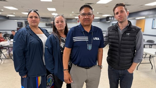

Dozens of band members gathered at the Sturgeon Lake Cree Nation Community Hall on Tuesday for an engagement session led by community leaders and legal advisors to discuss the potential impacts of the proposed Wonder Valley AI data center campus on their traditional territory. The company responsible for the project was notably absent, leaving many questions unanswered.
O’Leary Digital’s planned $70 billion, nine-gigawatt facility in the Municipal District of Greenview is situated approximately 130 kilometers southwest of the SLCN reserve. During the presentation to community members, SLCN lawyer Francco De Luca detailed the project’s history, concerns, and the regulatory and consultation challenges it still faces.
De Luca emphasized the importance of consultation to uphold the Crown’s Aboriginal treaty rights and comply with regulatory processes such as the Water Act and Environmental Protection Enhancement Act, which serve to safeguard Alberta’s water and environment. He expressed apprehension about the project, citing the exemption of a provincial impact assessment and SLCN’s ongoing legal review concerning the project’s water license as key concerns.
Issues discussed during the presentation included the heat emitted from the facility, noise levels, and potential impact on wildlife, all of which were also addressed during O’Leary Digital’s previous open house in June. De Luca highlighted that the proposed development, covering about 64 square kilometers along Highway 40, is located in the heart of Sturgeon Lake Cree Nation’s territory, where hunting and trapping activities occur.
SLCN Chief Sheldon Sunshine shared that his family had recently conducted a traditional camp near the proposed facility site, where they gathered plants for medicinal use and his grandson successfully hunted a moose. Chief Sunshine expressed concerns about losing access to the land, which holds significance for the community. O’Leary Digital CEO Paul Palandjian stated in a previous interview with CBC News that the company aimed to avoid disturbing animal habitats during site planning and allocated a specific area on the site map for wildlife preservation.