

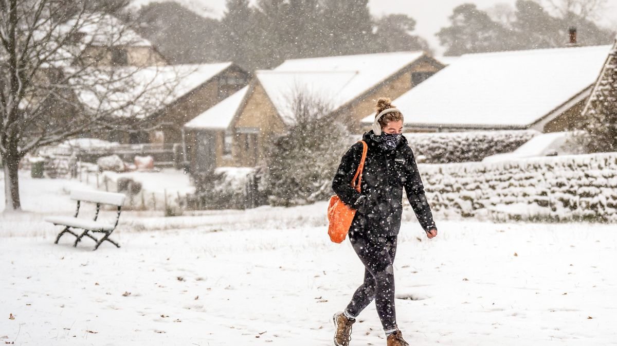

A wave of Arctic weather is poised to hit the UK next week, bringing the first snowfall to over 20 regions. The Met Office anticipates a significant change in weather patterns following a period of heavy rain, with a likelihood of snow as cold Arctic air moves across the country.
Meteorologists forecast that a high-pressure system will influence weekend weather, shifting south towards the Azores and ushering in chilly northerly winds. This shift is expected to result in plummeting temperatures and the potential onset of winter-like conditions, including snow in various areas of the UK. Some regions, particularly in Scotland, could see temperatures drop as low as -4C by early Monday.
The Met Office warns of a nationwide cold snap, with temperatures expected to dip several degrees below seasonal averages. Night-time temperatures could reach -2C in the North West of England on Tuesday, with lows between 0C and 2C across central England and Scotland by Wednesday.
In addition to the cold temperatures, the Met Office highlights an increasing chance of sleet and snow, especially in hilly regions of Scotland, Northern Ireland, northern England, and potentially North Wales. Towards the end of the upcoming week, a widespread wintry spell is anticipated across the UK, with even southern areas likely to experience snowfall.
According to OpenWeather, snowfall is expected in parts of Scotland and the North East on Monday, followed by potential snow in Wales on Tuesday and even reaching Gloucestershire in the South West. There is also a possibility of snow in Northern Ireland by Wednesday.
The Met Office’s latest update indicates a rising probability of snowfall as the week progresses, with wintry conditions potentially affecting various regions. The forecast suggests a chance of more than 1cm of snow even in southern parts of the UK. Alongside snowfall, there is a risk of icy conditions, particularly where rain meets cold surfaces.
Looking ahead to the period from November 19 to 28, the Met Office predicts a continuation of colder conditions spreading south across the UK. While some areas may experience less cold weather initially, a shift towards chillier temperatures is expected, bringing snow showers to northern regions and the first frosts of the season in the south. Later in the period, more changeable conditions may occur, with potential rain, showers, and hill snow in the north, while temperatures are likely to return to near-average levels.
Stay informed with the latest news by selecting Daily Mirror as a ‘Preferred Source’ on Google News for easy access to valuable updates.